Mapping the Feke

Icao Tiseli

[email protected]
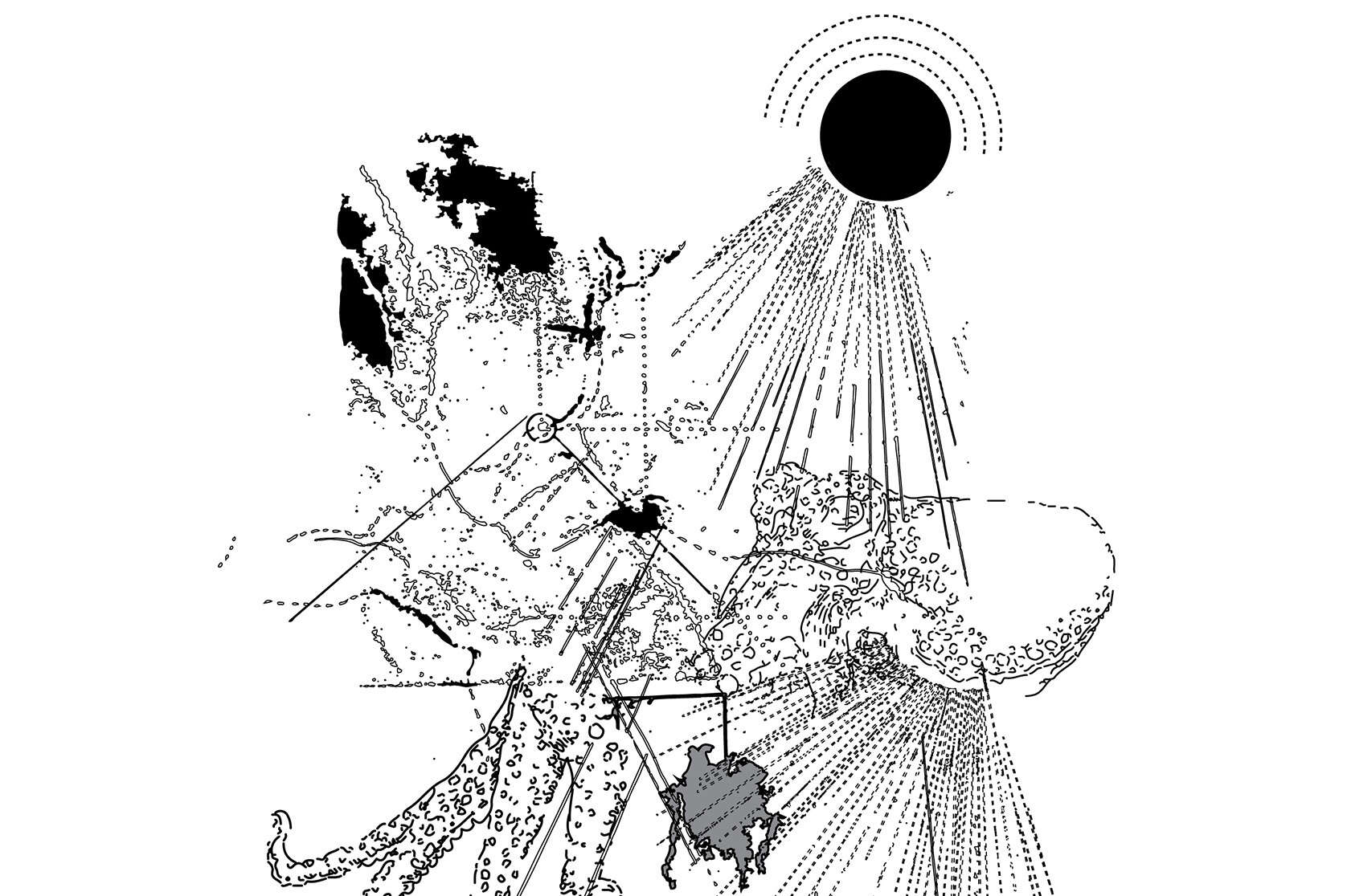
Hero Image Icao Tiseli

Maps offer us great insight into our places. If we were able to channel this language
we would be able to understand the narratives of our worlds and the realms of our
stories.
For we Polynesians, our intrigue into finding new places and discovering them
fortuitously has been an attribute engraved into our nature. With the lust of the
journey coaxing us into foreign territories, one aspect remains true in every turn: the
environment we are in search of.
In this project, mapping takes up the spirit of rebellion through the indigenous
lens. It immerses itself into the stories of the invisible few: the everyday people of
the Pacific. The project celebrates and encourages revisions of cartographic elements because
in this pursuit, it is about reclaiming new positions and discovering and cultivating new realities to reflect the richness of our culture.

The island is a compilation of its moving parts. The ocean is not where boundaries end, but instead where they begin. 
The island demonstrates the holistic connection the people have to their land and the ancestral knowledge of anchoring oneself back onto one's course using the stars. It establishes the inter-disciplinary role that mapping plays within architecture and planning. 

The island's position is one of great importance within its field, but the capacity in which it is being used undermines the potential it holds. Its role precipitates from the creative and scientific, and this flexibility warrants a proliferation of vast possibilities. It draws from the finding as well as the founding, which enables the ingress into worlds invisible to the conventional processes of today.


Mid-Development

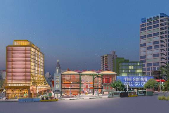
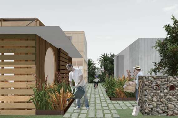
Within this project, maps have helped to uncover the narrative displaying the interconnectedness of the people and their place within the Pacific. By celebrating the cultural richness of its identity, dispelling the notion of pertaining to the pace of the west, this allowed new projected imaginings that empower, as opposed to depreciating its difference to convention.
Architecture provides permanence by activating the ground upon which we reside: ground, sky and ocean being the universal story we share.


Finished Product

I would like to end with a quote by Epeli Hau'ofa:

“That it is an identity that is grounded in something as vast as the sea, it should exercise our minds
and rekindle in us the spirit that sent our ancestors to explore the Oceanic unknown and make it their home."


Critic's Text

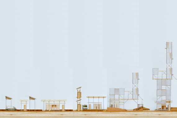
Icao Tiseli’s home is Vava’u known locally as feke (octopus) -  the island closest to the equator of the Tongan archipelago (tonga – south) with tentacles reaching out into the Pacific. Long before Europeans stopped hugging the coasts and ventured into the open sea to ‘discover’ the Pacific, Polynesians were navigating across vast stretches of the ocean. This demands another world view to the tradition of land-based architecture and earth-based building. However, it is not easy to represent this water world and Icao’s contribution to the discipline is with with her beautiful drawings and models.

Her articulated brief is based on the notion of programmed experiences of buildings, land, boats and water, and the recording of this alternative ontology in the form of local maps. These maps contribute to an archive, representing and preserving this Polynesian world view.

Icao started by mapping the feke in a series of evocative and carefully executed drawings. These maps are not like the land based maps of the West but more like the navigation charts of the Pacific. With no compass or clock, Pacific navigation depended on the night sky and the setting and rising of the sun. The North points found on every architectural plan are not determining, and so-called human scale is no longer a relevant concept. In Tonga, it is said, bigness is the measure.

— Mike Austin, Supervisor